
Oil & Gas Drone Production Site Footage
Recently, Renner Vaughn, business development director @ Cape & David Alderman, Managing Partner @ CRT Services teamed to initiate a remote oil & gas drone using aerial telepresence & infrared thermal imagery in observation of a North Dakota production site. The video footage below shows several dramatic highlights including a thermal read of the tank levels, the activity of the team members from above, and provides a tantalizing preview of the possibilities for management teams to keep real-time tabs on their most valuable assets.
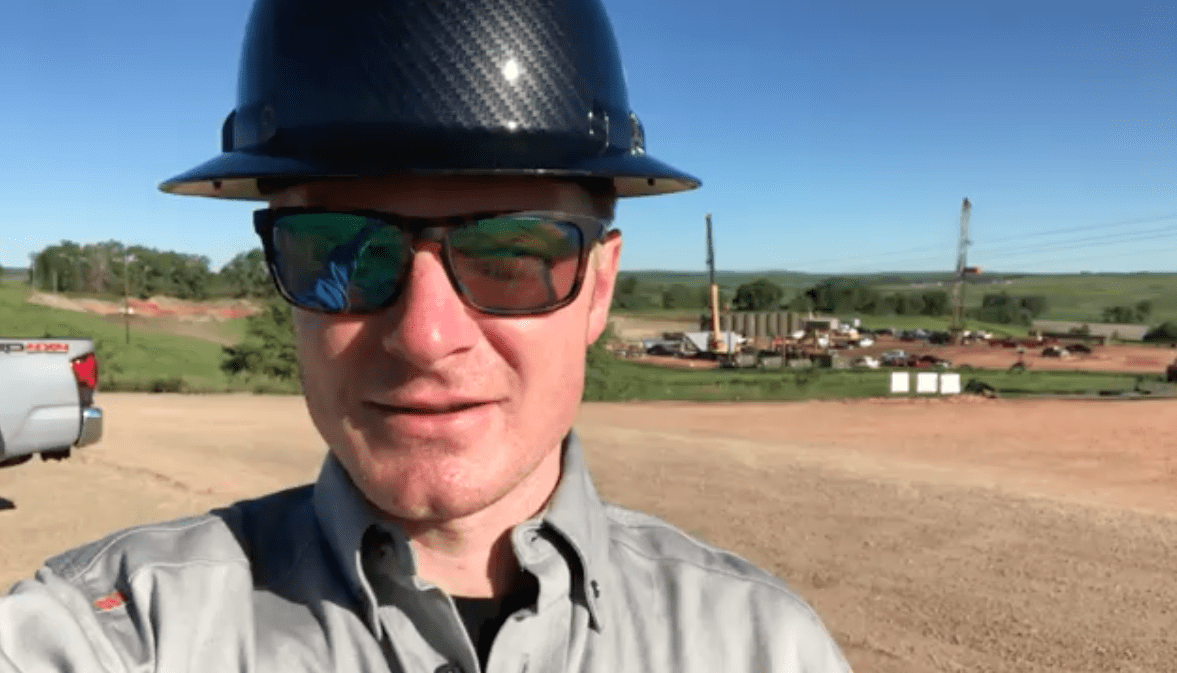
Renner Vaughn: 00:01 Hey there. We’re here in North Dakota, in the Bakken, flying some drones. Going to take a flight, inspect some sites, and see what kind of good footage we can get.
Renner Vaughn: 00:16 Just watching to pump jacks move with the thermal camera via Cape Telepresence. Another day in the oil field. Yeah.
Renner Vaughn: 00:45 Isn’t that crazy how even the ground heats up different, like where the tire tracks are?
Speaker 2: 00:45 Yeah.
Speaker 2: 00:45 This stuff’s crazy.
Renner Vaughn: 00:45 I never noticed it.
David Alderman: 01:05 So here we can really see the sharp lines on the liquid volumes in the tanks.
Speaker 2: 01:10 Look at that oil & gas drone.
Renner Vaughn: 01:15 So far so good out here today. Got a lot of flights done, checked some tank levels, ran around a few sites. Been able to capture some great video and show a few things to the guys on the pad here. Now we’re looking at the right of ways and going to fly a little bit of pipeline and see what kind of good stuff we can find.
Oil & Gas Drone Site Aerial Telepresence Drone Footage
These visuals are from the remote drone surveying company Cape that is pioneering a radical advance in drone technology called aerial telepresence which allows high-performance drones to be completely operated from remote locations. The applications array is astounding with uses for almost any industry with facility assets. For our clients, the ability to remotely observe & monitor drill sites which are often hundreds of miles and multiple time zones away from corporate facilities is a tantalizing premise for reducing travel expenses and increasing the level of oversight at their most valuable projects. The capabilities and controls of these technologies for oil & gas drones are rapidly advancing and it is our commitment to stay on top of the latest developments to deliver direct consultations to our clients interested in exploring Cape.com drones for their sites.
Aerial Applications For The Oil & Gas Industry
More on the increasing excitement of aerial applications for the oil & gas industry. As a leader in hydrocarbon measurement CRT Services provides up to date information and solutions for remote monitoring to an extensive array of industry clients. Our staff maintains a large curated resource list on our website with easily searchable downloads packed with information for operators and producers.


